
Mapping, Rhythm, and Patterns
Written by // Stephen Alexander
Tradecraft: For the Church on Mission - Read the chapter on Mapping
These two videos are really good to watch and possibly send to the team coming before they come or use as part of orientation to mapping training with them when they arrive. Biggest thing to remember is that in Europe and other parts of the world our campuses do not look like they will in the States and so we may not have a “campus” like they are talking about, but we do have areas of town that represent the same thing. At the 3:30 mark of the 2nd video he talks about that.
Mapping Notes
TERMS:
Target area- The area you are targeting that is also recognized by the locals as a defined area that may distinguish them from another area. These are often divided physically (roads, water, hills, etc.) or politically (township lines, district lines, school lines, etc.), and may even be named by the locals.
Sub area- Smaller areas where people most naturally interact with one another.
Segments- Peoples within a geographical area who may exist within an area, but don’t naturally interact with others in that area. This is often due to socio-economic and linguistic reasons.
3 Layers to a Map - Physical/Geographic, Social, and Spiritual.
Geographical/Physical aspect of the map - Key here is learning more about the target area and the segments of groups and people in that target area. (Observations) (This takes time!)
Social aspect of the map –Key here is asking good questions of people – How do you spend your time?, What worries you? Ect… (Engaging with people) (this brings depth to the map!)
Component Spiritual - Looking for God’s activity! Look for places of worship – all types of worship. - What are other aspects besides places of worship that can help us identify the spiritual landscape/climate of an area?
Expectations/Possibilities
It is expected that much prayer and sensitivity to the Spirit is at the core of this process.
It is possible that opportunities for spiritual conversations and gospel proclamations will be taking place during the mapping/discovery stage.
It is possible that relationships are being built with national believers who may be in this area or might be able to help target this area.
Remember that this list is man-made and not exhaustive. This is an exercise in knowing your area.
Discover the “target area”.
How have I determined that area?
Are my “boundaries” of the area different than how the locals would view it?
What are the physical boundaries (roads, water, landforms, etc.)?
What are the social boundaries (economic level, gated communities, language, culture)?
What are possible “sub-areas” within this area (this is likely revealed over time)? -Are there areas where people might not cross-pollinate?
Are there any common divisions within the area (school areas, district lines, etc.)?
Are there multiple common/public areas (parks, markets, shopping areas, etc.) where people of 1 sub-area might not shop/interact with another area?
What Great Commission work is happening in this area already?
Are there churches? Are they evangelistic? Theologically, could we partner?
Are people actively working in this area?
Confirm this area with the people. (How do the local people see their area?)
Ask open ended questions about where they live, work, eat, and spend their time.
Discover, “If they were to become a believer, where might the gospel naturally spread?”
Determine if those in this area commute in and out of this area or if they live and go to school here.
Determine “segments” within the sub-areas.
Within a sub-area, discover who people naturally interact with, who do they not interact with, nor would likely ever interact with?
Are there language or cultural barriers within this area?
Are there social stigmas that keep certain people away from one another?
Are there certain ages that don’t interact?
Are there school or life routines/schedules that might isolate a group of people from being engaged with the gospel? *Observe this area at different times of the day.
Take note if different styles of gospel presentations are helpful from 1 population segment to another.
Decode Your Campus Chapter
Look at this chapter – Decode Your Campus from the e-book Tips for Starting a College Ministry. Be sure to look through the list of questions and be able to answer the ones that apply in your context, but also, what are questions he doesn’t ask that you need to be asking in your context?
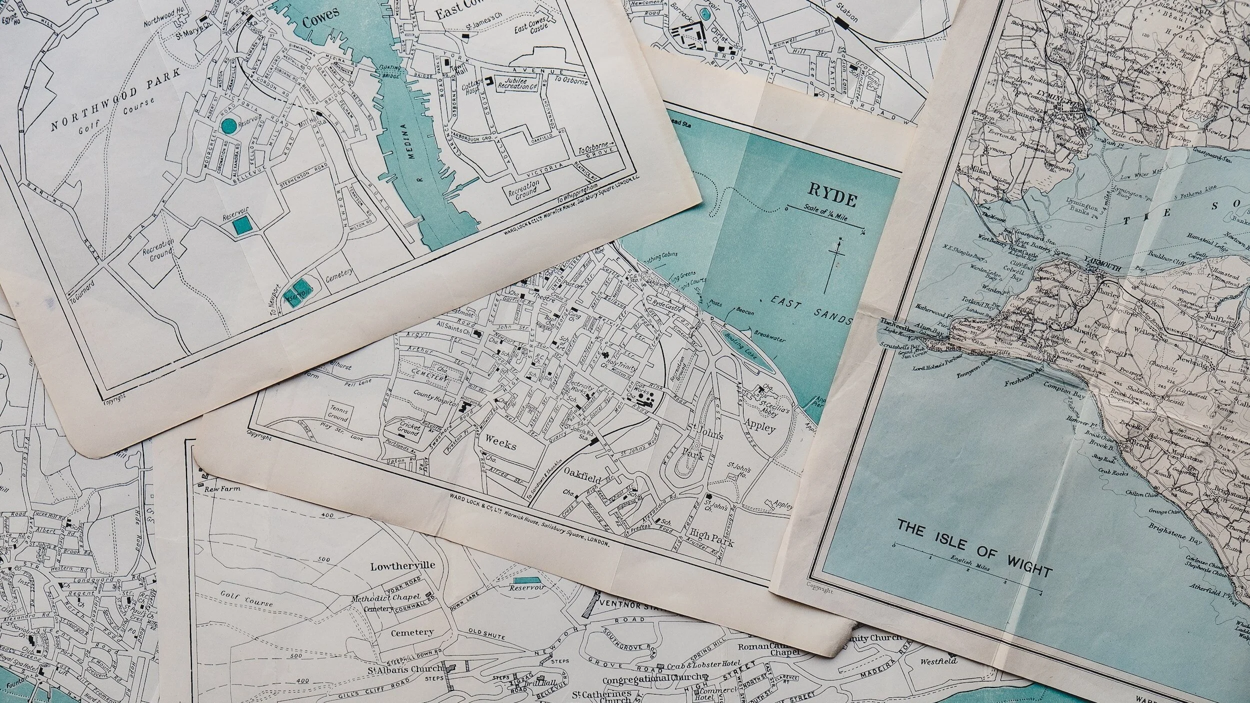
Helpful Tips as You Map Your Campus
Make a personal google map that you can give others access to so they can enter notes and mark places they see and find as they are out helping to map. For more in-depth notes use both a google map and a shared word document that details can be put with a reference point on the map. (This saves them needing to remember later). Or have them right after a mapping session sit down and fill out the map and notes. Go back several times to the same locations at different times of the day, week and seasons of the year.
Mapping for work with university students is ongoing! Students come and go, and new ones enter every year and what they need and would answer to your questions change. In always doing some mapping this will help you stay knowledgeable with your people group and their needs and ways to reach them.
What I have used to gather and store data:
One Simple Method for Surveying Your Community
Google maps, and many have used their productivity suite for documents, spreadsheets, and online forms. These tools are specifically designed to be easy on new users, and they are basically ubiquitous at this point. And of course, they are free to anyone with a Gmail account. It is entirely possible to collect a great deal of helpful information on your community and visualize it using nothing but Google.
Google Forms
Google’s online form creator is the starting point for creating a community survey system. It is easy to set up a form with a number of questions that provide insight. Just remember, less is more. The fewer questions you ask, the more likely your church members will get all the information.
Google Sheets
This is where this whole process gets cool. Every Google form automatically builds a Google spreadsheet. It is built right into the Google Drive account where the form was created.
Every time someone fills out the form, a new line of information is automatically entered into the same spreadsheet. This becomes your community database without any effort. As your members use the form, the amount of information you gather on the community grows and this spreadsheet becomes more valuable.
My Maps (Google Maps)
Google Maps has a section called My Maps and here you can build your own, editable maps. It is possible to place points one at a time in a map and fill in information on them, or you can bulk import information directly from a Google spreadsheet. See where this is going?
As your Google sheet gets big enough, you can go to My Maps and import that Google sheet straight from the Drive account and it will geocode all of your data. Geocoding is the fancy way of saying that it will place all of the points of interest that you gathered on one map together.
The result is a map full of places that are connected to different nationalities or people groups. This allows you to see who is now in your neighborhood, and it also shows you where they are. Add this knowledge to all the personal relationship development that occurred by having your own members find out the information, and you have some valuable missions research. Here is a quick presentation on how to build your own.